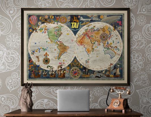
-
Regular priceFrom €49,90Regular priceSale priceFrom €49,90Unit priceper
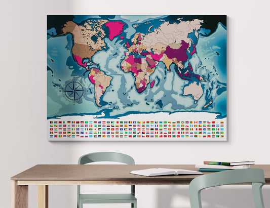
Blank map of the world, Van der Grinten projection
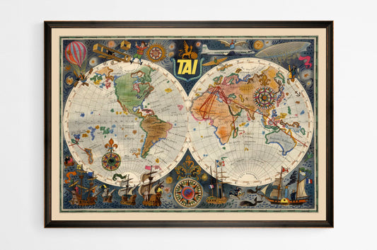
-
Regular priceFrom €49,90Regular priceSale priceFrom €49,90Unit priceper
Blank world map Van der Grinten projection
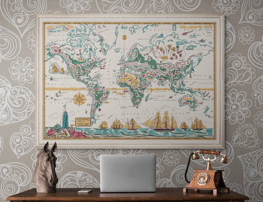
-
Regular priceFrom €49,90Regular priceSale priceFrom €49,90Unit priceper
Blank world map projection by Van der Grinten
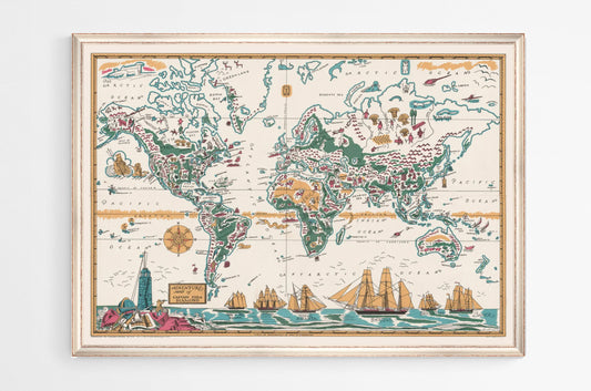
-
Regular priceFrom €49,90Regular priceSale priceFrom €49,90Unit priceper
Blank world map projection by Van der Grinten
-
Regular priceFrom €49,90Regular priceSale priceFrom €49,90Unit priceper
blank world map Van der Grinten projection
-
Regular priceFrom €49,90Regular priceSale priceFrom €49,90Unit priceper
blank geographic map, Van der Grinten projection
-
Regular priceFrom €49,90Regular priceSale priceFrom €49,90Unit priceper
Empty world map, Van der Grinten projection
-
Regular priceFrom €49,90Regular priceSale priceFrom €49,90Unit priceper
Blank wall map, Van der Grinten projection
-
Regular priceFrom €49,90Regular priceSale priceFrom €49,90Unit priceper
Blank XXL planisphere, projection by Van der Grinten
-
Regular priceFrom €349,90Regular priceSale priceFrom €349,90Unit priceper
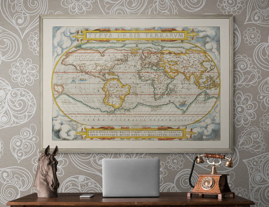
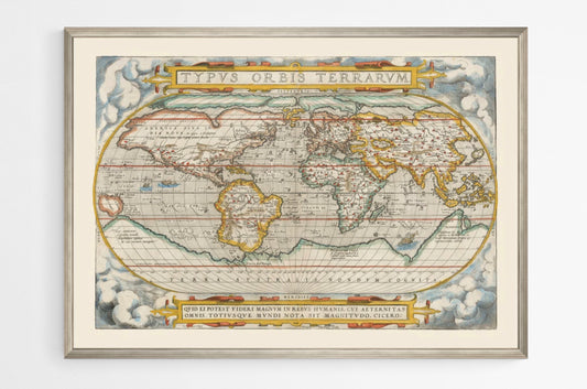
Vintage planisphere by Abraham Ortelius
-
Regular priceFrom €349,90Regular priceSale priceFrom €349,90Unit priceper
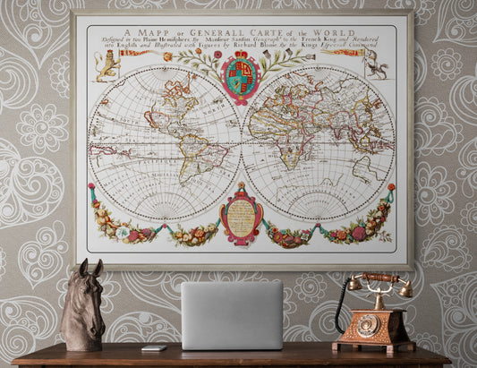
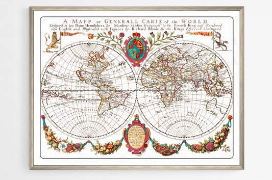
Old World Map by Richard Blome
-
Regular priceFrom €349,90Regular priceSale priceFrom €349,90Unit priceper
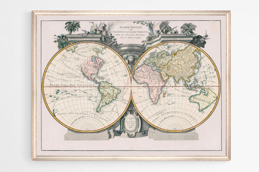
Old World Map
-
Regular priceFrom €349,90Regular priceSale priceFrom €349,90Unit priceper
Old Planisphere
-
Regular priceFrom €349,90Regular priceSale priceFrom €349,90Unit priceper
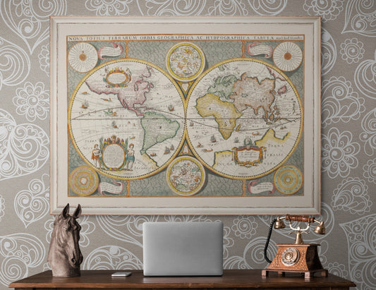
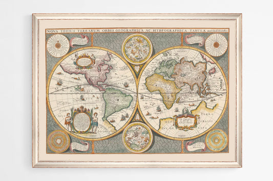
Jodocus Hondius World Map
-
Regular priceFrom €349,90Regular priceSale priceFrom €349,90Unit priceper
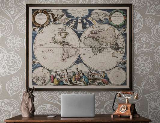
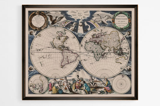
Pieter Goos World Map
-
Regular priceFrom €349,90Regular priceSale priceFrom €349,90Unit priceper
Vintage wall planisphere
-
Regular priceFrom €349,90Regular priceSale priceFrom €349,90Unit priceper
Retro Planisphere
-
Regular priceFrom €349,90Regular priceSale priceFrom €349,90Unit priceper
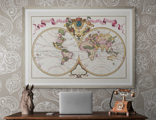
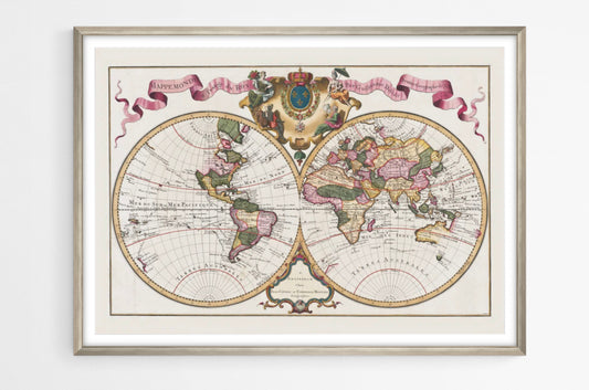
World Map by Guillaume Delisle
-
Regular priceFrom €349,90Regular priceSale priceFrom €349,90Unit priceper
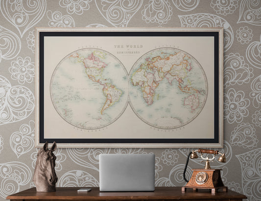
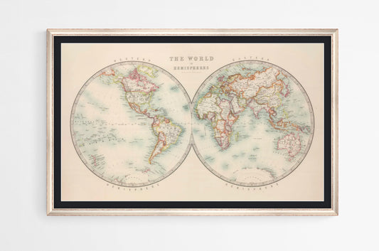
Keith Johnston World Map.
-
Regular priceFrom €349,90Regular priceSale priceFrom €349,90Unit priceper
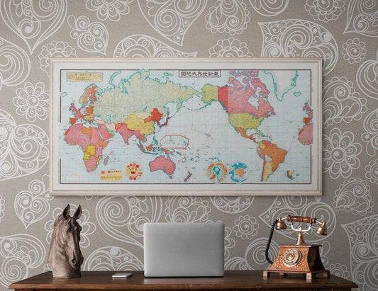
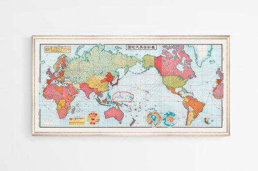
Large vintage world map
-
Regular priceFrom €349,90Regular priceSale priceFrom €349,90Unit priceper
Vintage planisphere by James Reynolds